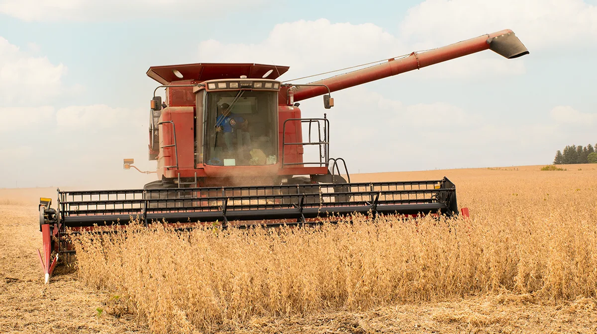
(Photo: Iowa Soybean Association / Joclyn Kuboushek)
A weather shift arrives at harvest
October 1, 2026 | Kriss Nelson
After one of Iowa’s warmest and wettest Septembers on record, farmers may finally get the weather window they need to make harvest progress.
Justin Glisan, state climatologist of Iowa, says preliminary numbers show September currently ranks as the sixth warmest and fourth wettest in 154 years of statewide records, with some individual weather stations potentially setting records of their own.
The rankings could change as temperature and precipitation data undergo quality control.
“While we probably won’t see any statewide records fall, we’ll have some station-level records broken for the month,” Glisan says.
According to Glisan, Des Moines fell just 0.32 inches short of its wettest September on record, set in 1914. September 2026 was also the third-wettest month on record for Iowa’s capital city.
The rain has already taken a toll on harvest progress. Wet conditions limited Iowa farmers to just 1.1 days suitable for fieldwork during the week ending Sept. 27, according to the USDA. As of Sept. 27, 5% of Iowa corn and 3% of soybeans had been harvested.
A harvest window
The short-term outlook offers some encouraging news for farmers waiting for fields to dry.
Glisan says the Climate Prediction Center’s 6- to 10-day and 8- to 14-day outlooks favor warmer, drier weather, a pattern that could help dry the soil surface and allow combines to return to fields.
“Both of those show a strong warm signal and lean dry, which is exactly what we need,” Glisan says of the outlooks into the first half of October.
A drier-than-normal outlook doesn’t mean rain is out of the forecast completely. Rather, it indicates an increased probability of below-normal precipitation during the period. Normal precipitation amounts also decrease as Iowa moves deeper into fall.
“Seeing a drier signal does suggest a quiet pattern setting in,” Glisan says.
“We need a good period of warmth and dryness to dry out at least the shallow soil profiles so we can get combines out there.”
The Climate Prediction Center’s final October outlook, released yesterday, favors above-normal temperatures across Iowa, with a slight lean toward below-normal precipitation in the northwestern corner of the state. There is no clear precipitation signal for the rest of Iowa.
Looking further into fall
Glisan says a historically strong El Niño in the eastern equatorial Pacific could also influence Iowa’s weather pattern by affecting the jet stream over the United States.
Glisan says past strong El Niño events, including those in 1982, 1997, 2015 and 2023, generally favored warmer-than-normal and slightly wetter conditions during fall.
However, Glisan says September was so wet that it could influence how the fall ranks for precipitation overall, even if drier conditions develop later.
The immediate concern is getting enough dry weather to finish harvest and fall fieldwork.
That could be more challenging in southern and eastern Iowa, where Glisan says soil profiles are particularly wet. One potential advantage is that wetter soils cool more slowly. Combined with a warmer weather pattern, that could potentially push frost and freeze dates later into the fall.
“We’ll see how long the dry signal persists in the outlooks, but this is what we need to extract some moisture out of the surface,” Glisan says.
Written by Kriss Nelson.
Back