(Photo: Iowa Soybean Association / Joclyn Kuboushek)
La Niña, snowpack and Iowa’s winter ahead
December 4, 2025 | Kriss Nelson
With a weak La Niña pattern in place, Iowa’s winter outlook is taking shape in ways that could influence temperatures, snowfall and early-season soil moisture. State Climatologist Dr. Justin Glisan breaks down what the pattern means and what farmers should watch as the season unfolds.
What does a weak La Niña mean for Iowa this winter?
La Niña conditions emerged in September as cooler oceanic waters expanded across the central and eastern portions of the equatorial Pacific Ocean. This pattern has a stronger influence on temperatures and storm tracks in the winter months compared to summer.
How does early-season snowpack influence winter conditions?
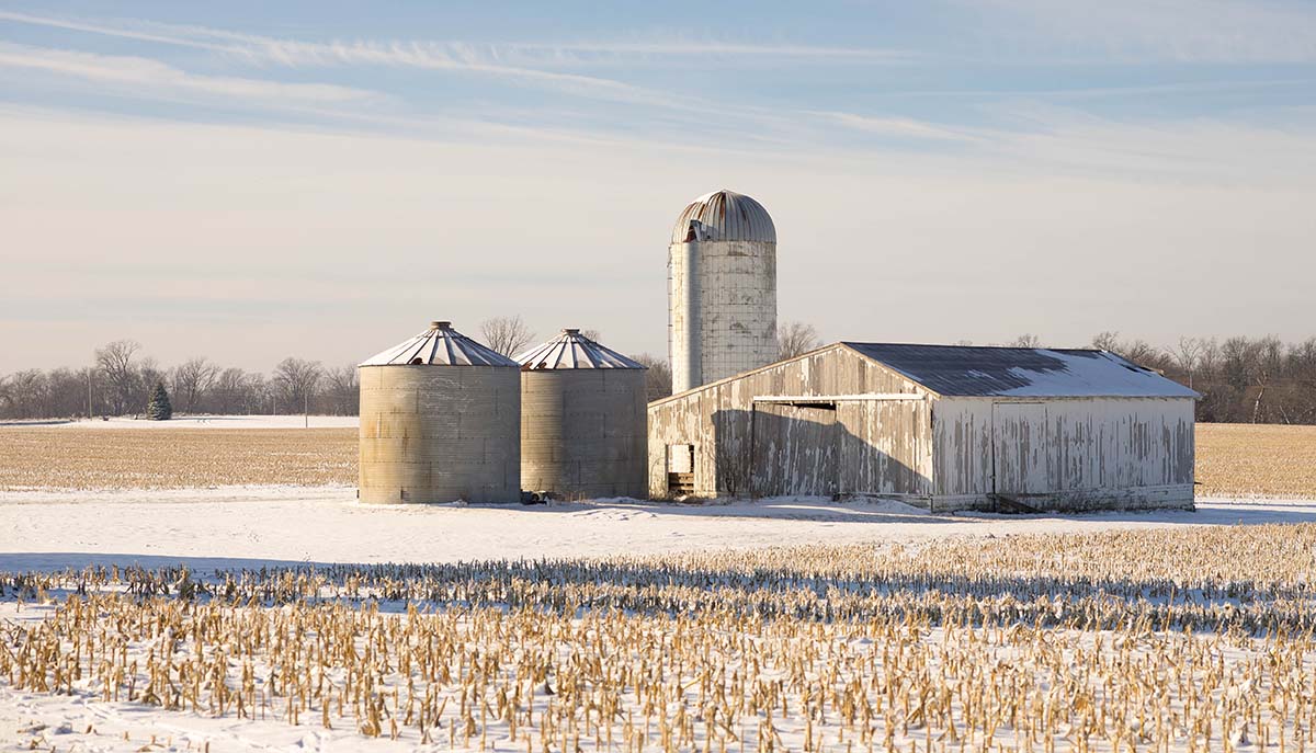
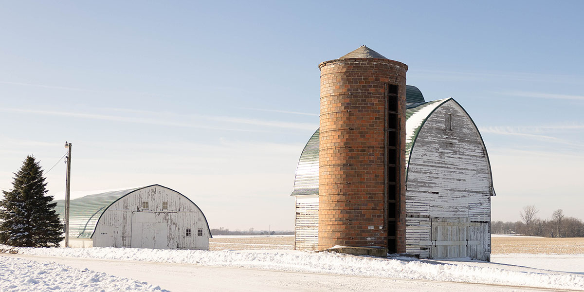
I’m often asked about the potential for snowfall with weak La Niña events. If you look at analog winters, we are more inclined to see more snowfall. A strong winter system brought widespread, and in some locations significant, snow at the end of November. Statewide, the average November snowfall is 2 inches. Preliminary measurements show the state averaged 8.5 inches in November 2025. This recent amount—6 inches above average—makes November 2025 the fifth-snowiest November in 138 years of records.
Having this snowpack on the ground is beneficial because it insulates the subsurface from colder air, preventing deeper frost penetration. With a shallower frost depth, melting snow or rainfall can infiltrate instead of running off into streams.
How did last winter compare?
Last winter had the fourth-least amount of snow on the ground because of the strong El Niño event. That is where we saw moderate drought conditions persist early in the year and then into spring.

What is the ratio of snow to water?
Generally 10 to 1. Ten inches of snow would yield roughly 1 inch of water. In early spring, the 40-20 rule is ideal: highs during the day in the 40s and overnight lows in the 20s. This allows refreeze at night, so you hold onto that snowpack and it melts gradually. This slower melt process allows for better infiltration of moisture into the ground.
What happens when soils do not freeze deeply in winter?
When you have warmer soil temperatures through winter, pests can overwinter better. Southern rust will not overwinter here, so we get a clean slate from that fungal disease next growing season. Winter is the fastest warming season, meaning temperatures are increasing at a quicker rate than in spring, summer or fall. As winter warms faster, we have seen a northward progression of non-native pests that are residents of the southern states. Moving forward, I think we can expect more overwintering pests and some that we have not seen in the upper Midwest, perhaps historically.
How much has Iowa warmed during winter, and what does that mean for precipitation and the growing season?
If you look at the overall wintertime temperature change since 1970, most locations across Iowa have warmed in a range of 3 to 5 degrees. For example, Cedar Rapids is up 3.9 degrees, Sioux City has warmed by 4 degrees and Des Moines is up 5.1 degrees. With this warming, we are seeing less snow and more rainfall and mixed precipitation events, particularly in December. Additionally, we have seen an increase in the growing season length. Frost dates are occurring later in the fall, and we are warming up earlier in the spring. Over the last few decades, we have increased the growing season window by 10 to 20 days.
What other weather patterns should farmers expect this winter?
The current weak La Niña follows a rare triple-dip event from 2021 to 2023. La Niña conditions, the cooler phase of the El Niño-Southern Oscillation (ENSO) cycle in the Pacific Ocean, lasted three consecutive years. In those years, more cold air outbreaks occurred in late January and February.When the polar vortex becomes unstable, those outbreaks become more frequent and can persist longer. The Arctic is warming about three times as fast as where we live in the mid-latitudes. With changes in the temperature gradient, we have seen more meanders form in the jet stream, bringing large temperature swings. This is where we see these more active late winter events. In weak La Niña years, this often means a more active storm track with more snow and more chances for cold air outbreaks.
How does soil moisture look going into winter?
Compared to this time last year, we are in a better position on soil moisture for portions of Iowa. We are still dry, but with snowpack on the ground relatively early in winter, we could see a shallower frost depth and more moisture infiltration as we start to melt in late winter and early spring.
How can farmers contribute to drought monitoring?
We like to hear from farmers and producers about precipitation—or lack thereof—on their farms so we can have a better-informed recommendation to the U.S. Drought Monitor each week. Contact me directly at my office line, 515-281-8981, or email me at Justin.Glisan@IowaAgriculture.gov. Farmers can also submit direct information to the Condition Monitoring Observer Report (CMOR) system.
Written by Kriss Nelson
Back