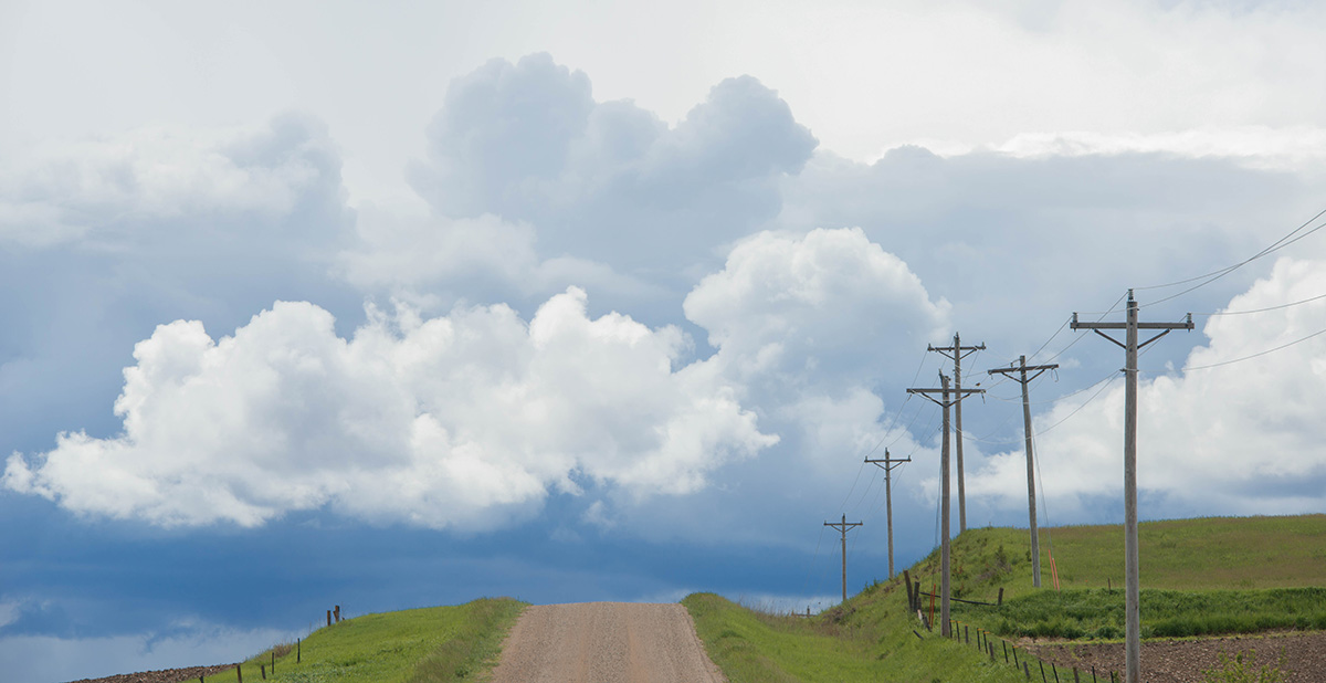
(Photo: Iowa Soybean Association / File Photo)
July outlook brings rain chances, moderating temperatures
July 2, 2026 | Kriss Nelson
Despite a stretch of hot, humid weather, Iowa's corn and soybean crops are entering July in generally good condition, according to Iowa State Climatologist Justin Glisan.
A persistent heat dome over the southeastern United States has pushed temperatures into the 90s across Iowa while dew points have remained in the 70s. Although the combination has created uncomfortable conditions, Glisan says conditions are not likely causing significant crop stress.
"Luckily, there's some wind out there," Glisan says. "The higher dew points are also cutting down on some of the moisture stress that you would get with these higher temperatures, especially in corn and beans."
The heat is expected to ease somewhat over the coming weeks. While temperatures should remain above average through the first half of July, it is forecast to moderate to just a few degrees above normal. Weather outlooks released on June 30 do not give much guidance on July temperature and rainfall expectations.
Ring of fire
While moderating temperatures are welcome, increased rain chances may be even more important for Iowa farmers.
July is climatologically one of Iowa's wettest months, and Glisan says forecasts point to wetter-than-average conditions over the next week, particularly across northern and western Iowa where drought conditions remain a concern.
"We need above-average rainfall in north-central and northwest Iowa," he says.
A large heat dome parked over the southeastern United States creates very warm conditions beneath it, while disturbances moving along the northern edge of the system generate rounds of thunderstorms across the Upper Midwest.
"We call this the ring of fire pattern," Glisan says. "These weather disturbances create thunderstorms along the heat dome’s periphery, and we've seen several waves of strong thunderstorms in the Upper Midwest over the last few days because of this pattern."
Those same disturbances have produced several recent high-wind events across Iowa. Forecasts continue to show opportunities for thunderstorms through the Fourth of July weekend, bringing the potential for both beneficial rainfall and localized severe weather, including hail and damaging winds.
Uneven rainfall across Iowa
While the overall growing season has been favorable, rainfall has varied considerably across the state. Glisan says.
Preliminary June data show statewide temperatures finished about a degree above average after cooler weather during the second half of the month offset warmer conditions earlier in the month.
Rainfall told a different story.
Northwest Iowa, north-central Iowa and portions of western Iowa received only about half of its normal June precipitation, while much of eastern Iowa recorded 110% to 160% of normal rainfall. Iowa’s eastern one-third along with south-central Iowa ranked among the 20 wettest Junes on record.
Significant differences remain between eastern and western portions of the state.
Looking back further, spring ranked as Iowa's seventh warmest on record, averaging about 4 degrees above normal. April contributed much of the season's precipitation, making it the state's sixth wettest April.
El Niño could benefit late-season crops
Glisan says El Niño conditions recently emerged as warmer-than-normal sea surface temperatures developed in the eastern equatorial Pacific.
Unlike winter, El Niño typically has a limited influence on Midwest summer weather. However, historical trends suggest it will become more important later in the growing season.
Looking at Iowa's previous strong El Niño years, Glisan says late summer and early fall have generally featured cooler-than-average temperatures along with near-normal to slightly wetter conditions.
"Generally, we see fewer extreme events," he says. "Less drought, less wetness, more near-normal behavior."
Current outlooks for July through September suggest below-average temperatures across much of the Midwest, but the rainfall outlook is still unclear. Glisan says climatologists will begin focusing more closely on El Niño during late October and November, when its influence on Midwest weather typically becomes much stronger.
For now, the combination of moderating temperatures and improving rainfall chances provides reason for cautious optimism as Iowa crops continue through the critical stages of the growing season.
Share your observations
As the season progresses, Glisan says that farmers' observations can help improve the accuracy of drought monitoring.
“If producers are seeing conditions that don’t match what the drought monitor is showing, we want them to send in those observations,” he says.
Reports, whether conditions are wetter or drier than depicted, can be sent to Glisan at Justin.Glisan@IowaAgriculture.gov or by calling 515-281-8981. Farmers can also submit direct information to the Condition Monitoring Observer Reports system here.
Written by Kriss Nelson.
Back