Cover Crops in Action


See first-hand how farmers in your area are successfully employing cover crops to improve soil health, conserve water and decrease erosion. The recommended viewing period is between April 1 and June 1.

Self-guided resource

Plan a few stops as your schedule allows, or take a day to drive the routes and check out everything that cover crops have to offer. The available locations below have additional information.

null

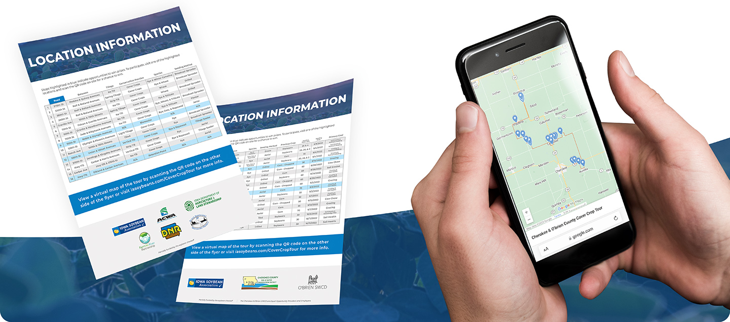
Available locations: 

Benton & Linn Counties

Contact: Evan Brehm, Conservation Agronomist, ebrehm@iasoybeans.com, 319-310-5468.

View a virtual map of the tour by scanning or clicking the QR code.

Stops highlighted in blue on the chart indicate opportunities to win a $50 gas gift card. To participate, visit one of the highlighted locations and scan the QR code on-site for a chance to win.

Download the full PDF here.

null

null

Buena Vista & Pocahontas Counties

Contact: Ryan Johnston, Conservation Agronomist, rjohnson@iasoybeans.com, 712-229-7184.

View a virtual map of the tour by scanning or clicking the QR code.

Stops highlighted in blue on the chart indicate opportunities to win a $50 gas gift card. To participate, visit one of the highlighted locations and scan the QR code on-site for a chance to win.

Download the full PDF here.

null

Turn-by-turn directions from site 1

Go 1.5 miles North on N-28 (130th Ave).

Go 10 miles West on Hwy 10 (460th St). Site 2 is on the South side of the road, sites 3 and 4 are on the North side.

Go 2 miles South on 180th Ave. Site 5 is on the East side of the road, site 6 on the West side with a QR code.

Go 1 mile East on C-25 (480th St.). 

Go 3 miles South on 190th Ave. Sites 7 and 8 are on the East side of the road.

Go 2 miles East on C-29 (510th St). Site 9 is on the South side of the road and 10 on the North side.

Go 14 miles South on M-54 (210th Ave). Site 11 is on the West side of the road.

Go 1 mile West on 650th St.

Go 1 mile North on 200th Ave. Site 12 is on the East side of the road.

Go 8 miles East on 640th St – turns into Hwy 7.  Site 13 is on the South side of the road.

Go 3.5 miles North on N-28 (130th Ave). Site 14 is on the East side of the road.

Go 1 mile West on 585Th St. Site 15 is on the North side of the road with a QR code.

Go 1.5 miles North on 120th Ave. Site 16 is on the East side of the road.

Go 1 mile East on C-49 (570th St). Site 17 is on the South side of the road while sites 18 and 19 are on the North side.

Go 5 miles North on N-28 (130th Ave.).

Go 1.25 miles West on Hwy 3 (520th St). Site 20 is on the North side of the road.

Click here to download turn-by-turn directions.

null

Cherokee & O'Brien Counties

Contact: Ryan Johnston, Conservation Agronomist, rjohnson@iasoybeans.com, 712-229-7184.

View a virtual map of the tour by scanning or clicking the QR code.

Stops highlighted in blue on the chart indicate opportunities to win a $50 gas gift card. To participate, visit one of the highlighted locations and scan the QR code on-site for a chance to win.

Download the full PDF here.

null

Turn-by-turn directions from site 1

Go 1.5 miles East on Hwy 3. Site 2 is on the North side of the road.

Go 2 miles South on Hwy 7. Site 3 is on the East side of the road.

Go 1 mile East on 550th St.

Go 10 miles North on M-21(W Ave). Site 4 is on the East side of the road in the first mile.

Go 2 miles East on C-16 (450th St).

Go 1 mile North on M-12 (U Ave).

Go 1 mile West on 440th St.

Go 1 mile South on T Ave. Site 5 is on the East side of the road with a QR code sign.

Go 3 miles West on C-16 (450th St). Site 6, 7, and 8 are all on the South side of the road.

Go 1 mile South on Church St (Q Ave).

Go 1 mile West on 460th St. Site 9 is on the North side of the road.

Go 1 mile North on P Ave. Site 10 is on the East side of the road.

Go 5 miles West on C-16 (450th St).

Go 2 miles North on K Ave. Sites 11 and 12 are on the West side of the road with a QR code sign at site 11.

Go 1 mile West on 430th St. Site 13 is on the South side of the road.

Go 2 miles North on L-48 (J Ave turns into Redwing). Site 14 is on the West side of the road.

Go 2 miles West on B-62. Site 15 is on the North side of the road.

Go 4 miles North on Pierce Ave.

Go 5 miles East on Hwy 10. Site 16 is on the South side of the road.

Go 5 miles North on Hwy 59. Site 17 (knowledge plot) and 19 are on the West side of the road while site 18 is on the East side.

Click here to download turn-by-turn directions.

null

Sac & Calhoun Counties

Contact: Joe Wuebker, Conservation Agronomist, jwuebker@iasoybeans.com, 712-790-1415.

View a virtual map of the tour by scanning or clicking the QR code.

Stops highlighted in blue on the chart indicate opportunities to win a $50 gas gift card. To participate, visit one of the highlighted locations and scan the QR code on-site for a chance to win.

Download the full PDF here.

null

null