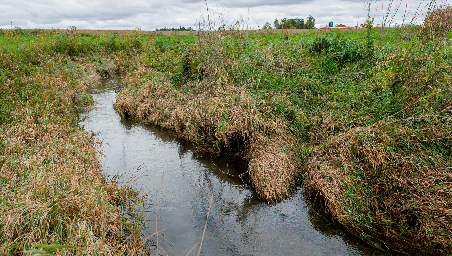
The Iowa Soybean Association uses water quality data to evaluate the effectiveness of installed practices on water quality. (Photo: Joseph L. Murphy/Iowa Soybean Association)
2019 water quality summary: Part 2
March 27, 2020 | Tony Seeman
This article is the second in a three-part series summarizing water quality data collected by Iowa Soybean Association (ISA) and partners for 2019.
The ISA has a certified water lab that analyzes samples from rivers, streams, individual tile outlets, and edge of field practices from around the state of Iowa. This information is used to target areas for planning and implementation projects. It’s provided to individual farmers to assess their operations, and used to evaluate the effectiveness of installed practices on water quality. For this analysis, data collected with the Miller Creek Water Quality Initiative (WQI) and Benton WQI projects provide an example of the impact of ongoing conservation implementation on water quality in the area (figure 1 below).

The Iowa Department of Agriculture and Land Stewardship (IDALS) fund the Miller Creek WQI and Benton WQI watershed demonstration projects. Located within the Middle Cedar watershed in eastern Iowa, the projects focus on reducing nutrients leaving farm fields through voluntary adoption of practices outlined in the Iowa Nutrient Reduction Strategy (INRS). Water quality monitoring was implemented in Miller Creek in April 2014 and in Benton County in June 2015. Sampling is focused on both individual field tiles and streams to give producers a look at the impact of their field management is having on water quality in their watershed.
Nitrate concentrations at the outlet of Miller Creek for the sample period peaked in 2016 at just over 10 mg/L, then were lower for two years (figure 2). Last year’s average reflects the reduced concentrations we saw throughout the state in 2019. It is important to remember that nitrate concentration is only part of the water quality story. We also need to look at the total amount of nitrogen lost, which can be expressed as yield (pounds of nitrogen per acre). Nitrogen yields were calculated for the watershed using flow data from the U.S. Geological Survey’s StreamEst program. The program takes discharge from a nearby stream gage and transfers that information to an estimate for other locations. Miller Creek has averaged between 8 to 16 pounds per acre of nitrogen loss over the time period (figure 3).

In particular, 2018 shows a higher loss due to very high flows in September and October even though the average concentration was similar to 2017. Eight tiles have been monitored for the entire length of project. The combined average of these tiles has shown a decline each year, indicating increased performance compared to the watershed as a whole (figure 4).
The Benton WQI project is located in three adjacent small (HUC 12) watersheds. In each of these streams, nitrate concentrations were similar in the first two years then declined (figure 5).

The nitrogen yields in 2019 were dominated by high discharge in May and June during high concentrations (figure 6). Note that this sampling was conducted over a shorter time period than in Miller Creek. Ten tiles have been monitored for the length of the project. The average of these has been fairly stable, with last year being noticeably lower (figure 7).

These data show the connection of nitrogen loss and its interaction with weather. While low concentrations are good, they will sometimes be counteracted by excess water moving through the system in wetter years. Looking at both concentration and yield is important to assess progress on the INRS. While not a comprehensive analysis, these results suggest that, in these locations, things are at least moving in the right direction. In particular, the fields that have been consistently monitored in Miller Creek seem to be showing higher reductions compared to the watershed as a whole.
Read Part 1 Read Part 3
Back